
Maritime Map
Navigation chart: the right choice before boarding
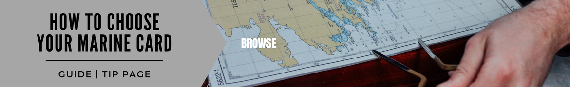
The marine chart brings together the elements and information necessary for maritime navigation, it allows you to locate and navigate at sea. A maritime chart takes into account climatic conditions, in particular tides, currents, the state of the sea and the dangers on the route.
The navigation map is one of the essential elements to take with you on a boat trip. The regulations are not the same depending on your type of navigation. On the other hand, according to the SHOM (Hydrographic and Oceanographic Service of the Navy), the obligation to carry nautical documentation applies to all vessels, just like registration. Whether you are a fan of coastal, offshore or river navigation, a navigation card is mandatory as part of a professional activity. For pleasure boats, this is not the case, but the maritime boat card can provide you with significant help and offer you the necessary security when you board your vessel.
And at Nautisports, we have what you need! At navicarte, which belongs to the Plastimo brand, with the map , you will have the ideal product for light navigation along the French coast and will cost you only 8 euros. Made of paper and in A3 format, this navigation map is water and folding resistant thanks to a navicarte process which involves loading the paper with latex. Also find these nautical charts, still at navicarte, dedicated to Italy, Spain or the French Atlantic coast.
Other maritime charts available on our site, the from Plastimo. Established according to the SHOM, these different colored cards allow you to determine the dangers that may be encountered during your outings on the water, whether with a motorboat or a pleasure boat. Available for sale at the price of 29 euros, these maps are reissued periodically, to stay up to date in the event of changes in one or more sectors.
Always at Plastimo, opt for the . These maritime boat charts provide you with all the information regarding traffic if you decide to sail along the French Riviera. The format of this Mediterranean marine chart is A2 format. Purchasing this card gives you access to a set of 20 to 30 cards at different scales. Other information available, details of marinas and anchorage areas. Find this Mediterranean nautical chart model, on our online site, at the price of 46 euros.
Code and security
Among the documents, or plans, to have on your boat and always for your safety, you must not forget the . Nothing original about this product, just the grouping on the same sheet of the international regulations to prevent collisions at sea. This model of maritime chart, this sea code, allows you to take note of the new international regulations whether for pleasure boats in inland waters, or for ships on international waters. And keep the information necessary for your safety in sight. The maritime signage available on this map corresponds to SHOM 2B and 3C structures. Available at a price of only 9.50 euros.
Another product available to ensure your security, the. This navigation guide maps each river, canal or waterway in France (but also some neighboring countries such as Belgium, Switzerland or Germany). Purchasing this guide, available at the price of 19.80 euros, will give you several information on the routes to follow, the environment, the anchorage places... In short, all the information that can be useful for navigation. The maritime boat charts that you can find inside are embellished with technical and tourist photos.
Marine charts: for a safe trip to the water
Whether you are the owner of a motor boat, regardless of its power, a pleasure boat, warning is necessary and knowledge of your environment as well. Electronics, especially with smartphones, can be useful to you, but nothing replaces paper maps which can save the day in case of problems. Nautical charts, technical data sheets, the marine code, allow you to ensure your safety, and that of others, while staying one step ahead of events. Find online on Nautisports.com a wide selection of essential documents dedicated to maritime navigation, all regulated by SHOM, to take on board your boat or ship. As a little extra, you can also get protective sleeves for your nautical charts in particular.


Filter
Shopping Options


