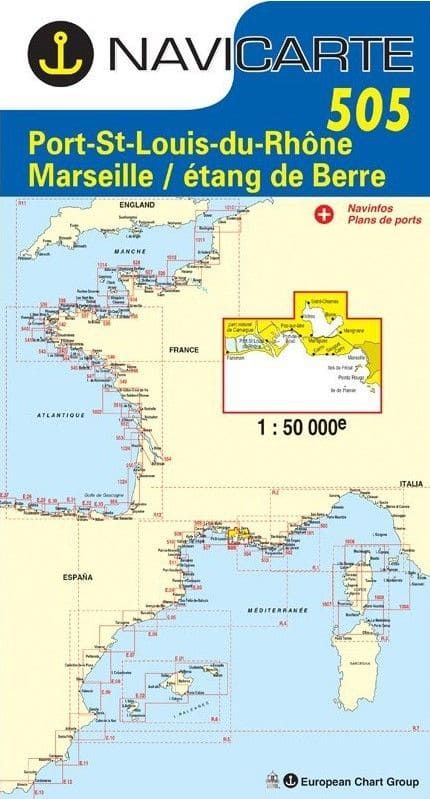
Marine chart Mediterranean and Corsica-505
€26.30
In stock |
Ships in 4 to 6 days
SKU
PL-MEDITERRANEE-CORSE-505
Ref. : PL-MEDITERRANEE-CORSE-505

Need an advice ?
CARTE PORT ST LOUIS, MARSEILLE, ETANG DE BERRE NAVICARTE 505 : UNE CARTE MEDITERRANEE RESISTANTE A L'EAU
La Carte Port St Louis, Marseille, Etang de Berre Navicarte 505 est parfaite pour naviguer le long des côtes françaises en méditerranée. Les dangers sont mis en évidence sur la carte pour rendre la navigation plus sûre.
Cette carte est périodiquement rééditée et se présente dans un format plié 165 x 315 mm. Elle est à l'échelle 1/50000 ème.
Le papier utilisé pour cette carte Navicarte résiste à l'humidité pour une plus grande durabilité.
Read more
Technical specifications
- Papier résistant à l'eau
- Carte marine Méditerranée et Corse-505
- Format plié 165 x 315 mm
Write Your Own Review


