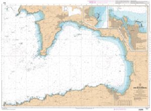
SHOM Charts North Sea - Pas de Calais - East Channel

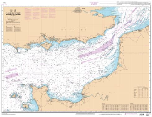
The SHOM Mer du Nord - Pas de Calais - La Manche Est charts cover the area of the North Sea, the Pas-de-Calais and the East of the English Channel. You will find all the coasts and the classic details of a SHOM chart.
Need an advice ?
SHOM NORTH SEA - PAS DE CALAIS - EAST CHANNEL CHARTS : SHOM NORTH SEA CHART
The SHOM Mer du Nord - Pas de Calais - La Manche Est charts cover the area of the North Sea, the Pas-de-Calais and the East of the English Channel. You will find all the coasts and the classic details of a SHOM chart.
THE SHOM CHART
Made of paper and latex, a SHOM chart offers a high resistance to water while maintaining a good writing facility. These charts are folded and updated.
Details of areas and scales at the bottom of the page.
Read more
Technical specifications
- Dimensions:
- Folded: A4 (21 x 29.7 cm)
- Unfolded : A0 (84,1 x 118,9 cm)
- Available areas :
- 6651 L - From Calais to Dunkerque - Scale : 1 : 43139
- 6735 L - Pas de Calais - From Boulogne-sur-Mer to Zeebrugge - Thames Estuary - Scale : 1 : 149395
- 6824 L - From Cap d'Antifer to Cap Gris-Nez - From Newhaven to Dover - Scale : 1 : 151854
- 6968 L - From Anvil Point to Beachy Head - Scale: 1 : 150000
- 7207 L - Ports of Fécamp and Le Tréport - Scale: 1 : 12500
- 7214 L - From Dunkirk to Oostende - Scale: 1 : 60000
- 7247 L - Port of Boulogne-sur-Mer - Scale: 1 : 10000
- 7258 L - Approaches to Calais - Scale: 1 : 15000
- 7312 L - From the Casquets to the Pas de Calais - Scale: 1: 372368
- 7317 L - Port of Dieppe - Scale: 1:12497
- 7323 L - Pas de Calais - From Boulogne-sur-Mer to Calais and from Dungeness to Dover - Scale: 1: 74300
- 7416 L - South of Boulogne-sur-Mer - From Tréport to Boulogne-sur-Mer - Scale : 1 : 75164
- 7417 L - Fécamp and Dieppe Approaches - From Cap d'Antifer to Dieppe - Scale: 1 : 75890
- 7418 L - Le Havre and Antifer Shores - Mouth of the Seine - From Ouistreham to Cap d'Antifer - Scale: 1:60001
- 7419 L - The Seine - From Le Havre to Rouen
- 7420 L - Ports in the Bay of the Seine - Scale: 1:17500
- 7421 L - From Pointe de La Percée to Ouistreham - Scale: 1 : 48100
- 7424 L - Pas de Calais - From Calais to Dunkirk and from Dover to North Foreland - Scale : 1 : 73900


