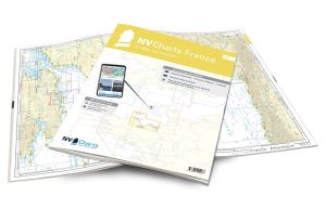
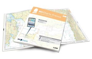
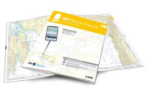
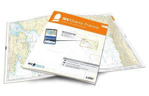
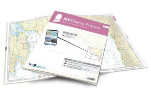
NV Atlas France - FR8 - Ile d'Oléron to San Sebastian - Bordeaux

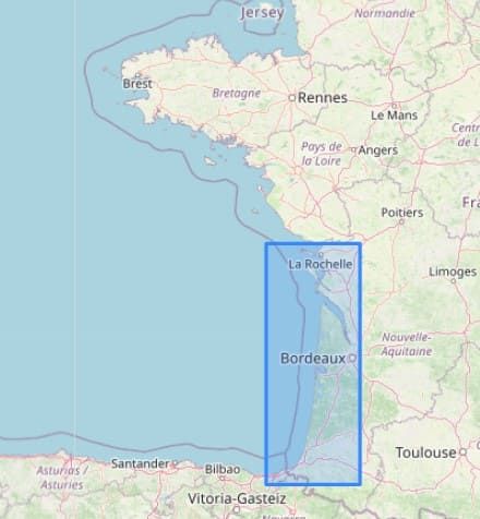
The NV Atlas France - FR8 - Ile d'Oléron to San Sebastian - Bordeaux maps are nautical charts covering the areas from La Rochelle to the Spanish border.
These maps will guide you through the Bay of Biscay, covering towns such as La Rochelle, Bordeaux, Cap Ferret, Dune du Pilat, Bassin d'Arcachon, Biarritz, St Jean de Luz and Hendaye in France, and San Sebastian and the Bahia de La Concha bay in Spain.
CLEAR, COMPREHENSIVE MAPS
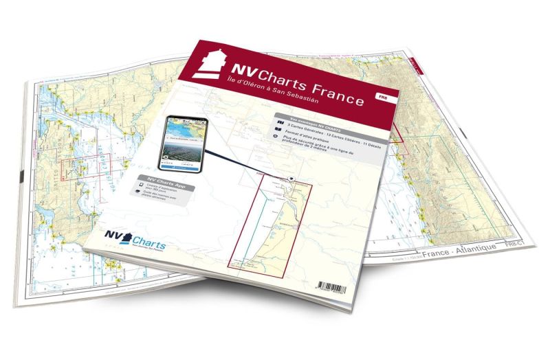
In this handy atlas, you'll find 3 general maps and 13 coastal maps showing access points, ports and anchorages, and 11 important details.
Need an advice ?
NV ATLAS FRANCE - FR8 - ÎLE D'OLERON A SAN SEBASTIAN - BORDEAUX : GOLFE DE GASGOCNE
NV Atlas France - FR8 - Île d'Oléron à San Sebastian - Bordeaux are nautical charts covering the areas from La Rochelle to the Spanish border.
These maps will guide you through the Bay of Biscay, covering towns such as La Rochelle, Bordeaux, Cap Ferret, Dune du Pilat, Bassin d'Arcachon, Biarritz, St Jean de Luz and Hendaye in France, and San Sebastian and the Bahia de La Concha bay in Spain.
CLEAR, COMPREHENSIVE MAPS
In this handy atlas, you'll find 3 general charts and 13 coastal charts showing access points, ports and anchorages, plus 11 important details.
Navigation advice is given in French and English, and a tide table is included.
In addition to this paper Atlas, NV Charts offers youaccess to its charts in digital format, and the possibility ofsetting up your own navigation program to guide you through your journey. Port maps are also available in digital format.
Read more
Technical specifications
- Format :
- Open: A2
- Closed: A3
- Cards :
- 3 General Maps :
- C1 France - Atlantic 1: 1.750.000
- C2 La Rochelle to Arcachon 1: 350.000
- C3 Arcachon to San Sebastián 1: 350.000
- 13 Coastal maps
- C4 Ile d'Oléron to Embouchure de la Gironde 1: 150.000
- C5 Côte d'Argent to north of Cap Ferret 1: 150,000
- C6 Silver Coast - Arcachon to Contis 1: 150,000
- C7 Côte d'Argent - Contis to San Sebastián 1: 150.000
- C8 Approach to La Rochelle Sud 1: 45,000
- C9 La Charente approaches 1: 45.000
- C10 Coureau d'Oléron 1: 45,000
- C11 Embouchure de la Gironde 1: 45.000
- C12 Gironde approaches 1: 45,000
- C13 Gironde 1 1: 45,000
- C14 Gironde 2 1: 45.000
- C15 Gironde 3 1: 45.000
- C16 La Garonne - Bordeaux 1: 45.000
- C17 Cap Ferret 1: 45.000
- C18 Bassin d'Arcachon 1: 45.000
- 11 Details :
- C19 La Rochelle 1: 15.000
- C20 La Charente - Rochefort 1: 25.000
- C21A Le Verdon-sur-Mer 1: 15.000
- C21B Arcachon 1: 15.000
- C21C Meschers-sur-Gironde 1: 10.000
- C21D Port de Douhet 1: 10.000
- C21E Royan 1: 10.000
- C21F Capbreton 1: 15,000
- C22 Bayonne and Biarritz 1: 15.000
- C23A Hendaye 1: 15.000
- C23B St. Jean de Luz 1: 15.000
- C24A Pasajes 1: 10.000
- C24B St.-Denis-d'Oléron 1: 10.000
- C24C Boyardville 1: 10.000
- 3 General Maps :
- Application code (valid for 365 days from activation)
- Digital maps & Navigation program
- Navigation tips: English and French
- Tide tables
- Paper + digital port maps
- Responds to legal requests for up-to-date paper charts on board


