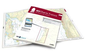
NV Atlas France - FR6 - Lorient to Île de Noirmoutier - Nantes

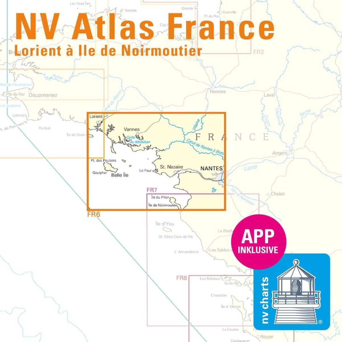
NV Atlas France - FR6 - Lorient to Île de Noirmoutier - Nantes are nautical charts covering areas of southern Brittany from Lorient.
These charts will guide you from Lorient, a key Breton sailing town, with its many international sailing teams, sailing museum and more. You'll be able to navigate around Belle-Ile, the Gulf of Morbihan, the city of Vannes, Nantes, the island of Noirmoutier, etc..
Need an advice ?
NV ATLAS FRANCE - FR6 - LORIENT TO ÎLE DE NOIRMOUTIER - NANTES: A MUST FOR SOUTHERN BRITTANY
NV Atlas France - FR6 - Lorient to Île de Noirmoutier - Nantes are nautical charts covering the areas of Southern Brittany from Lorient.
These charts will guide you from Lorient, a key sailing town in Brittany, thanks to its many international sailing teams, its sailing museum, etc. You'll be able to navigate around Belle-Ile, the Gulf of Morbihan, the city of Vannes, Nantes, the island of Noirmoutier, etc.
CLEAR, COMPREHENSIVE MAPS
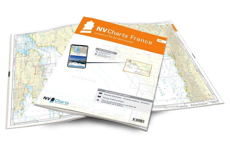
In this handy atlas, you'll find 3 general charts and 13 coastal charts showing access points, ports and anchorages, plus 20 important details.
Navigation advice is given in French and English, and a tide table is included.
In addition to this paper Atlas, NV Charts offers youaccess to its charts in digital format, and the possibility ofsetting up your own navigation program to guide you through your journey. Port maps are also available in digital format.
Read more
Technical specifications
- Format:
- Open: A2
- Closed: A3
- Cards :
- 3 General Maps :
- C1 France - Atlantic 1: 1.750.000
- C2 Brittany - South 1: 350.000
- C3 Belle-Ile to La Rochelle 1: 350.000
- 13 Coastal charts
- C4 Lorient to Ile d'Hoëdic 1: 150.000
- C5 Ile d'Hoëdic to Ile de Noirmoutier 1: 150.000
- C6 Island of Groix to Étel 1: 45.000
- C7 Baie de Quiberon 1: 45.000
- C8 Belle-Ile 1: 45.000
- C9 Belle-Ile - Houat - Ile d'Hoëdic 1: 45.000
- C10 Golfe du Morbihan 1: 45.000
- C11 Passage de l'Est - Ile d'Hoëdic 1: 45.000
- C12 Vilaine river mouth 1: 45.000
- C13 Piriac-sur-Mer to Chenal du Nord 1: 45,000
- C14 Embouchure de la Loire - St.-Nazaire 1: 45.000
- C15 Ile de Noirmoutier - Nord 1: 45.000
- C16 Baie de Bourgneuf 1: 45.000
- C17 La Loire 1: 45.000
- 20 Details :
- C18 Passage de la Teignouse 1: 25.000
- C19 Lorient 1: 15.000
- C20 Le Blavet 1: 15.000
- C21 A La Trinité-sur-Mer 1: 15.000
- C21 B Le Palais 1: 7,500
- C21 C Rivière d'Étel 1: 15,000
- C22 Golfe du Morbihan - Ouest 1: 25.000
- C23 Golfe du Morbihan - Est 1: 25.000
- C24 A Port Navalo 1: 15.000
- C24 B Vannes 1: 15.000
- C25 La Vilaine 1: 25.000
- C26 A Piriac-sur-Mer 1: 15.000
- C26 B Pornic 1: 15.000
- C26 C Port Tudy 1: 7.500
- C26 D St.-Nazaire 1: 15.000
- C26 E Quiberon - Port Haliguen 1: 10.000
- C26 F L'Herbaudière 1: 10.000
- C26 G Quiberon - Port Maria 1: 10.000
- C27 A Le Pouliguen 1: 15.000
- C27 B Noirmoutier-en-Î'lle 1: 15.000
- C27 G Le Croisic 1: 10.000
- C27 D La Turballe 1: 10.000
- C27 E Pornichet 1: 10,000
- 3 General Maps :
- Application code (valid for 365 days from activation)
- Digital maps & Navigation program
- Navigation tips: English and French
- Tide tables
- Paper + digital port maps
- Responds to legal requests for up-to-date paper charts on board


